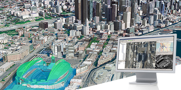
Leica HxMap Webinar: 3D City Modelling Workflow
Join us on 25 February to learn about the 3D city modelling module in Leica HxMap, Leica Geosystems' high-performance unified LiDAR and image processing workflow for airborne sensors. Product manager, Felix Rohrbach, will provide detailed insights into the 3D modelling functionality and key features. For a deeper understanding of the 3D editor, application engineer, René Rothe, will demo the workflow.
Key take-aways
- Understand how to generate, edit and texture buildings
- Explore editing of building geometries in 2D and 3D
- Learn how to take advantage of collected sensor data when editing
- Gain knowledge on how to work efficiently using the building object list
- Learn to edit in stereo imaging mode using nadir or oblique imagery
Date: Thursday 25 February
Time: 9 - 10 am CET (Central Europe)
|